Mapping · Archaeology · Cemetery Science
Cemetery records that account for every grave.
Field-verified mapping and record of interment, sub-surface investigation, and documentation for municipalities, cemetery managers, and institutions that need answers — not assumptions.
Four disciplines.
One firm.
We work across the full range of cemetery science — from precision mapping to sub-surface investigation to archaeological excavation. Each engagement is scoped and quoted before any work begins.
Precision Cemetery Mapping
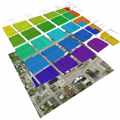
Digital transformation of antiquated maps and interment records, including map revitalization and record compilation where none exist. Spatially accurate, to-scale, and tethered to the landscape using aerial photogrammetry, DGPS, and Total Station surveys. Supersedes the accuracy of original cemetery layouts.
Learn about Cemetery Mapping →Archaeogeophysics & Remote Sensing
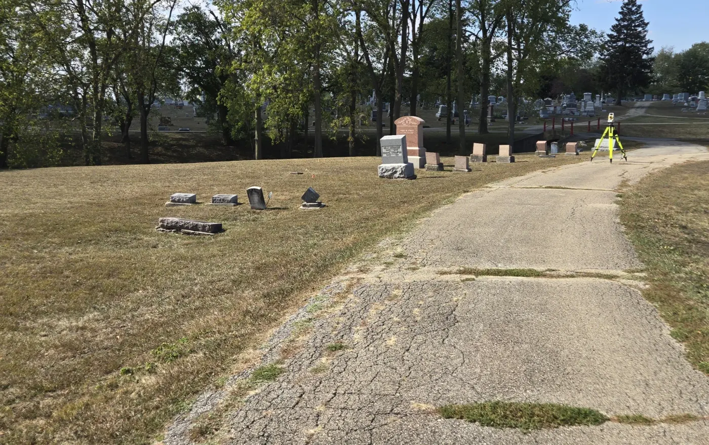
Ground Penetrating Radar, magnetometry, LiDAR, and thermal imaging for lost graves search, unmarked burial identification, and site characterization. Non-invasive and minimally invasive methods available.
Learn about Sub-Surface Exploration →Cemetery Archaeology
Controlled excavation and recovery with extensive experience in sensitive and historically significant investigations, including single-body recoveries and high-profile forensic projects.
Learn about Cemetery Archaeology →Cemetery Grounds Validation
Potter's Field identification and unmarked burial ground assessment. We locate original, undocumented burial areas in small and large cemeteries to support stewardship, planning, and decision-making.
Learn about Grounds Validation →Experience that speaks to the work.
American Geospatial has supported investigations across the full spectrum — from routine cemetery maintenance to forensically significant historical recovery.
-
1922 Herrin Massacre Project
Archival and forensic investigation into one of American history's most significant labor violence events.
-
Victims of the Pana Riot
Recovery and documentation of victims from a historically significant labor conflict.
-
Countless Individual Grave Recordings
Across 1200+ mapped acres — marked and unmarked — using field-verified data, on-site verification, and precision mapping techniques.
-
Municipal & Institutional Mapping
Long-term mapping and record maintenance for public and private cemetery managers, sextons, municipalities, and land managers across multiple states.
Tell us what
you're working on.
No obligation to consult — written quote before any work begins.
Contact UsFree consultation including pilot Project-based pricing Fixed-price scoped contracts