Sub-Surface Exploration
See what's beneath the surface, before you open a grave space.
Non-invasive and minimally invasive surveys that locate lost graves, characterize burial sites, and reduce uncertainty before ground is broken.
Request a Consultation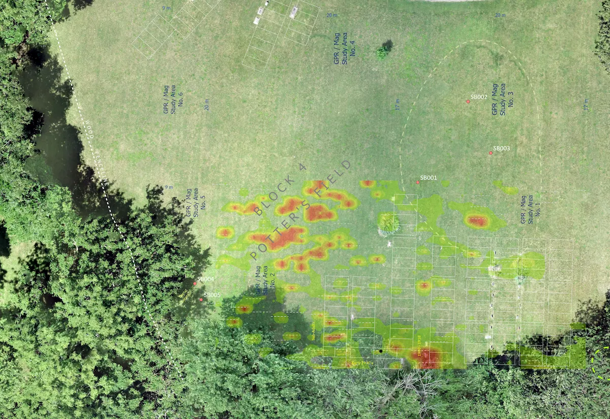
Answers the records don't have.
Cemetery records aren't always accurate, and in some cases, they're lost to fire or negligence. Ground-truth what your records say, and find what they've missed, without disturbing the soil.
Know what's under a burial site before ground is broken. Geophysical surveys can illuminate problematic areas, provide excavation scope, prevent last-minute surprises, and protect families' burial rights.
Define boundaries, estimate density, and document the extent of a burial ground, such as a Potter's Field, before decisions are made about land use or development.
Interpreted geophysical anomaly maps, site context, and methods documentation: deliverables suited for genealogical and historical archiving, regulatory submissions, planning, and institutional use.
The science behind the surveys.
Every site is different. We select the appropriate methodologies based on numerous factors: geography, field conditions, soil type, target depth, project intent, etc. Tap any instrument to learn more.
Method
From site to interpretation.
Define the site, objectives, and constraints. We recommend methods based on your goals, soil conditions, and target depth.
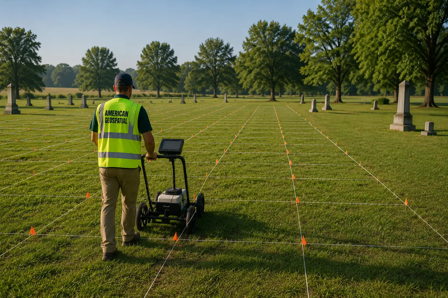
Deploy instruments in systematic grids across the site. Multiple sensor types are always run in combination for better results.
Process raw data, identify anomalies, and integrate results from multiple methods to improve confidence and reduce false positives.
Anomaly maps, site reports, and method documentation in formats suited to your next steps, whether regulatory, planning, or excavation.
Have a site you need to investigate?
Tell us what you're trying to find, where it is, and any known constraints. We'll recommend the right methods and expected deliverables.
Contact Us