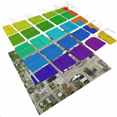
Why American Geospatial
Answers you can defend.
Cemetery records are often built from old maps, handwritten ledgers, institutional memory, partial surveys, and assumptions passed down over time. That may be enough — until a question becomes operational, legal, historical, or public-facing.
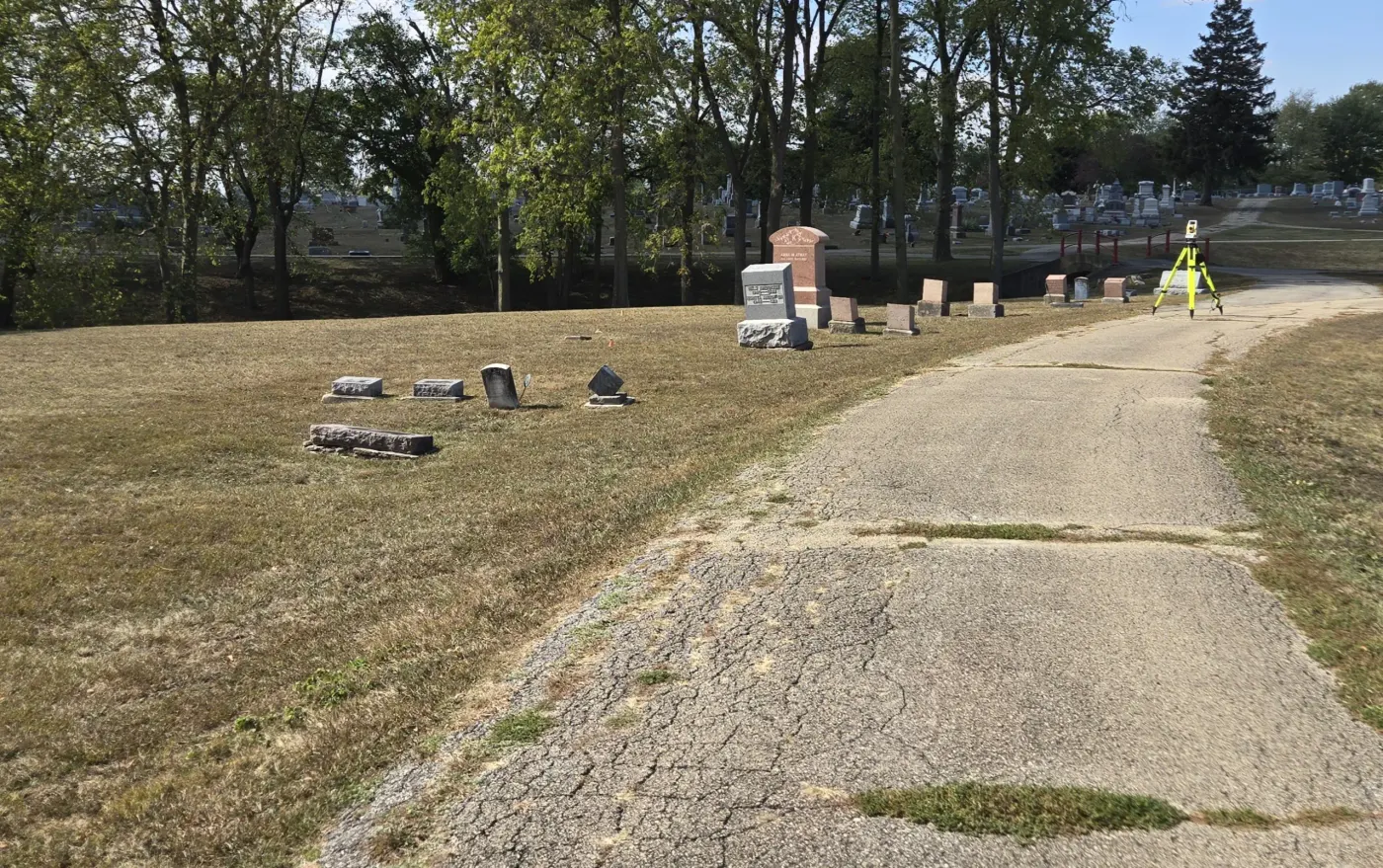
American Geospatial is built for those moments.
Our knowledge goes beyond records management: we know cemeteries above and below ground, and that gives us expertise most firms can't match.
We verify what exists on the ground, compare it against available records, document what can be known, and deliver maps and reports that support stewardship, planning, maintenance, and decision-making.
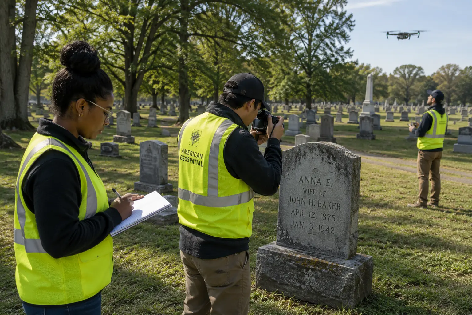
Four things that set our work apart.
From Conceptual Design to Geographic Reality
We do not digitize old maps. We verify graves, markers, spatial relationships, and site conditions in the field — and the records reflect the real-world geography observed first-hand.
Geographic Information Science for cemeteries, not generic mapping
Our work sits at the intersection of remote sensing, archaeology, mapping, archival review, and cemetery operations — a combination cemetery management software firms generally can't replicate.
Deliverables built for use
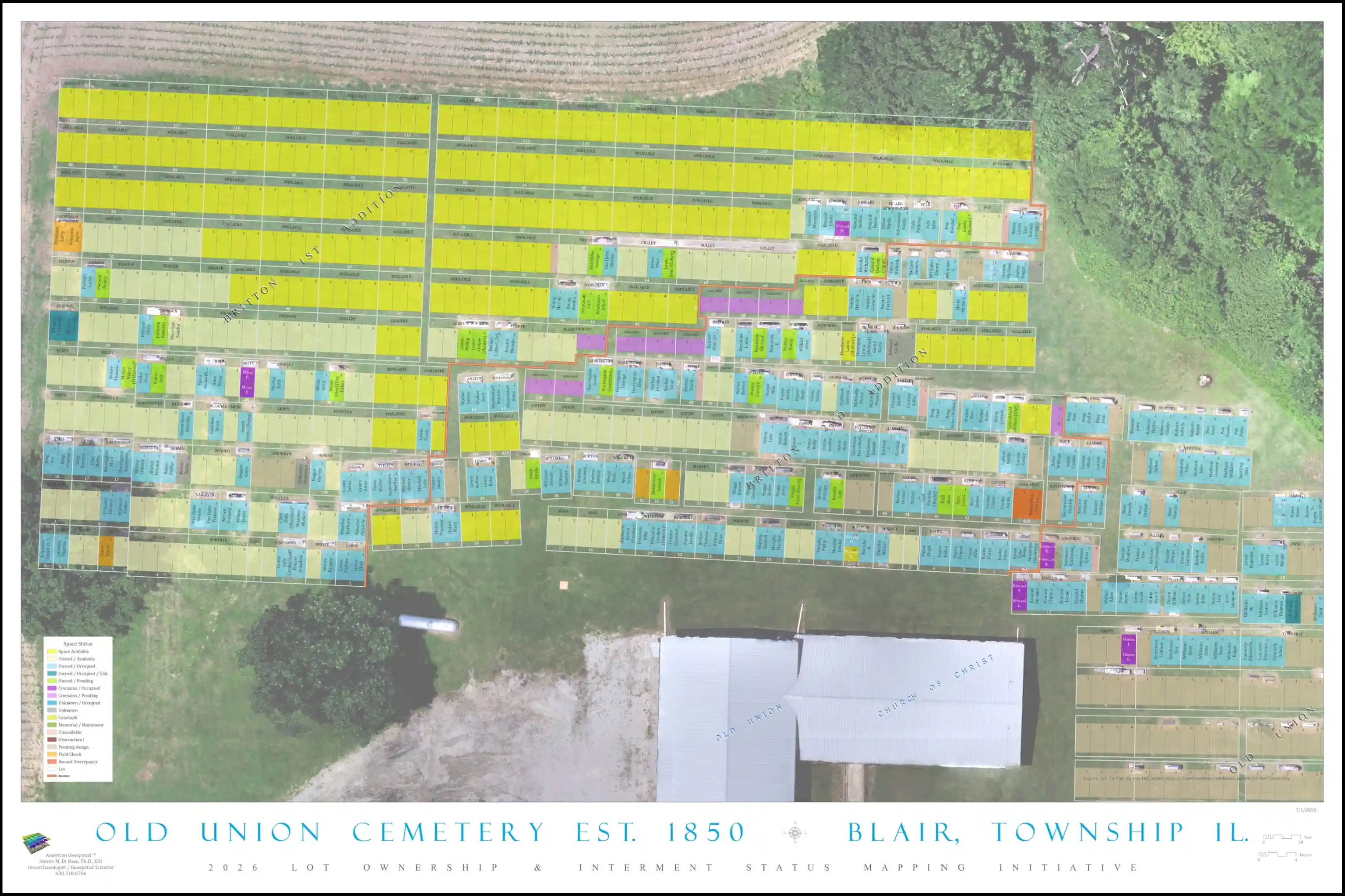
Detailed maps, re-inventoried and updated interment records, and reports are produced for the people who need to act on them — sextons and cemetery managers, board members and staff, municipal leaders, institutions, consultants, and property stakeholders.
Documentation that holds up
Every project is scoped around clear methods, practical outputs, and defensible findings — so the work supports decisions now and holds up to scrutiny later.
Ready to work with a team that verifies before it maps?
Tell us about your site and what you need to know. We'll recommend a scoped approach and clear deliverables.